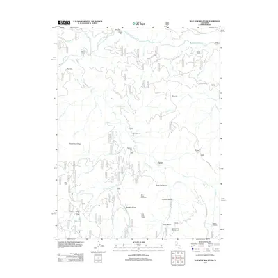
2012 Map of Blue Nose Mountain
USGS Topo · Published 2012About this map
The Middle Fork Feather River carves through this Plumas County landscape, defining a region where river bars and flat clearings once supported early mountain activity. Named bars like English Bar and Bill Bar sit along the river's path, while the uplands are marked by distinct peaks such as Pilot Peak and the prominent Blue Nose Mountain. The terrain is deeply incised by drainages including Nelson Cr and Hopkins Cr, which lead to numerous ravines like Frenchman Ravine and Garabini Ravine.
Find a feature on this map
52 named features on this map. Tap any name to fly to it.
Don’t see what you’re looking for? This feature index may not catch every label — zoom into the map to look around manually.
Map Details
Editions of this 2012 Blue Nose Mountain Map
This is the sole edition of this map. No revisions or reprints were ever made.
Other maps of this area

1891 · Downieville
USGS Topo · 1:125,000

1893 · Downieville
USGS Topo · 1:125,000

1895 · Downieville
USGS Topo · 1:125,000

1896 · Downieville
USGS Topo · 1:125,000

1897 · Downieville
USGS Topo · 1:125,000

1937 · Blairsden
USGS Topo · 1:48,000

1943 · Blairsden
USGS Topo · 1:62,500
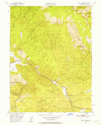
1950 · Spring Garden
USGS Topo · 1:24,000
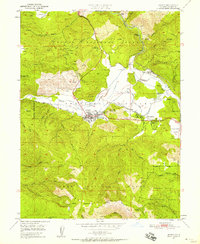
1950 · Quincy
USGS Topo · 1:24,000
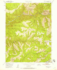
1950 · Onion Valley
USGS Topo · 1:24,000