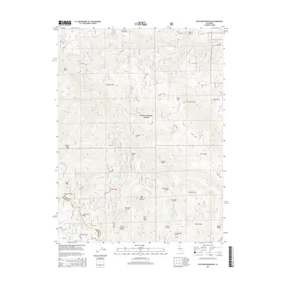
2015 Map of Blue Nose Mountain
USGS Topo · Published 2015About this map
The Middle Fork Feather River carves through the northern reaches of this territory, where riverside landings like English Bar, Fells Flat, and Bill Bar hint at a history of resource extraction and seasonal camps. This portion of the Plumas National Forest is defined by high-elevation ridges and drainage systems, including the notable Blue Nose Mountain and the prominent Pilot Peak on the western boundary. The map reveals a landscape heavily influenced by gold-era topography, crossing the Plumas Co Sierra Co line near the Gibsonville Ridge. Local features such as Bunker Hill and Duck Soup Pond provide specific points of interest for those tracing family ties to the mining camps and high-country meadows of the High Sierra.
Find a feature on this map
73 named features on this map. Tap any name to fly to it.
Don’t see what you’re looking for? This feature index may not catch every label — zoom into the map to look around manually.
Map Details
Editions of this 2015 Blue Nose Mountain Map
This is the sole edition of this map. No revisions or reprints were ever made.
Other maps of this area

1891 · Downieville
USGS Topo · 1:125,000

1893 · Downieville
USGS Topo · 1:125,000

1895 · Downieville
USGS Topo · 1:125,000

1896 · Downieville
USGS Topo · 1:125,000

1897 · Downieville
USGS Topo · 1:125,000

1937 · Blairsden
USGS Topo · 1:48,000

1943 · Blairsden
USGS Topo · 1:62,500
1950 · Spring Garden
USGS Topo · 1:24,000
1950 · Quincy
USGS Topo · 1:24,000
1950 · Onion Valley
USGS Topo · 1:24,000