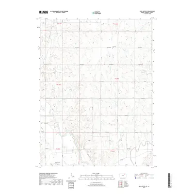
2018 Map of Blue Rapids NE
USGS Topo · Published 2018About this map
Big Blue River and the Black Vermillion River converge in the southern reaches of this Marshall County landscape, defining the hydrology of the eastern Kansas plains. The terrain is characterized by a high density of creek systems including Corndodger Cr, Dog Walk Cr, and Johnson Fork, which carve through the sectional grid of the Public Land Survey System. A notable landmark, the Indian Mound, sits near Game Fork in the southwestern corner, suggesting a long history of human presence in the river valley.
Find a feature on this map
43 named features on this map. Tap any name to fly to it.
Don’t see what you’re looking for? This feature index may not catch every label — zoom into the map to look around manually.
Map Details
Editions of this 2018 Blue Rapids NE Map
This is the sole edition of this map. No revisions or reprints were ever made.
Other maps of this area

1889 · Seneca
USGS Topo · 1:125,000

1889 · Marysville
USGS Topo · 1:125,000

1894 · Seneca
USGS Topo · 1:125,000

1894 · Marysville
USGS Topo · 1:125,000

1955 · Manhattan
USGS Topo · 1:250,000

1956 · Manhattan
USGS Topo · 1:250,000

1957 · Manhattan
USGS Topo · 1:250,000

1966 · Marysville
USGS Topo · 1:24,000

1966 · Home
USGS Topo · 1:24,000
1966 · Beattie
USGS Topo · 1:24,000