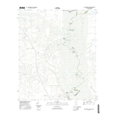
2017 Map of Blue Springs Landing
USGS Topo · Published 2017About this map
Blue Springs sits on the western bank of the Savannah River, marking a landscape where the waterway's erratic course defines the boundary between Georgia and South Carolina. This 2017 survey details a river system characterized by intricate bends and cutoffs, including Cornhouse Reach and the Mosquito Camp Cutoff. The terrain is dominated by wetland features and family-named landmarks such as Tiger Leap Bluff and Jacob Jump Point. Away from the river, the land transitions into a network of namesake ponds and swamps, such as Moon Change Swamp and Borken Pond. Genealogy researchers will find interest in the Bryan Cem located off Poor Robin Rd, while the placement of Boyd School Rd suggests the historical locations of local rural institutions. The map captures the complex hydrology of the Screven County lowlands before these seasonal water bodies and marshes shift over time.
Find a feature on this map
73 named features on this map. Tap any name to fly to it.
Don’t see what you’re looking for? This feature index may not catch every label — zoom into the map to look around manually.
Map Details
Editions of this 2017 Blue Springs Landing Map
This is the sole edition of this map. No revisions or reprints were ever made.
Other maps of this area

1918 · Oliver
USGS Topo · 1:62,500

1919 · Shirley
USGS Topo · 1:62,500

1920 · Hilltonia
USGS Topo · 1:62,500

1920 · Oliver
USGS Topo · 1:62,500

1920 · Peeples
USGS Topo · 1:62,500

1943 · Hilltonia
USGS Topo · 1:62,500

1943 · Peeples
USGS Topo · 1:62,500

1943 · Shirley
USGS Topo · 1:62,500

1943 · Millen
USGS Topo · 1:125,000

1943 · Oliver
USGS Topo · 1:62,500