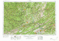
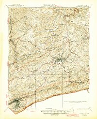
1957 Map of Bluefield
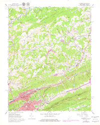
USGS Topo · Published 1975About this map
New River waters cut through the heart of the Allegheny Mountains, defining a region shaped by high ridges and coal-rich valleys during the mid-20th century. The intricate rail networks of the Norfolk and Western Ry, Chesapeake and Ohio Ry, and Virginian Ry follow these narrow corridors, connecting industrial hubs like Bluefield and Beckley to the wider world. The landscape is marked by substantial public lands, including the Jefferson National Forest and Bluestone State Park, which buffer the growing population centers of Radford, Pulaski, and the university town of Blacksburg. Major engineering projects are evident in the impoundments of Bluestone Lake and Claytor Lake, which transformed the ancient river's flow. This era shows the early integration of Interstate 81 alongside established routes like U.S. 460, reflecting a transition toward modern highway travel through the Blue Ridge.
Find a feature on this map
74 named features on this map. Tap any name to fly to it.
Don’t see what you’re looking for? This feature index may not catch every label — zoom into the map to look around manually.
Map Details
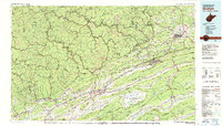
Editions of this 1957 Bluefield Map
2 editions found

Historical Maps of Blacksburg Through Time
10 maps found
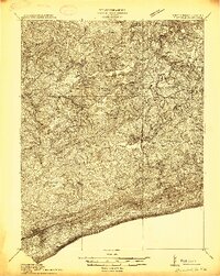
1913 Bluefield
Tazewell County, VA
1916 Bluefield
Tazewell County, VA
1924 Bluefield
Tazewell County, VA
1926 Bluefield
Tazewell County, VA

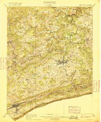
1955 Bluefield
Tazewell County, VA
1957 Bluefield
Tazewell County, VA

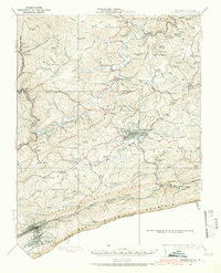
1961 Bluefield
Tazewell County, VA
1962 Bluefield
Tazewell County, VA
1981 Bluefield
Tazewell County, VA
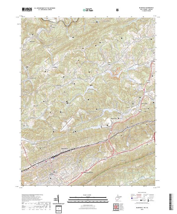
2023 Bluefield
Tazewell County, VA