
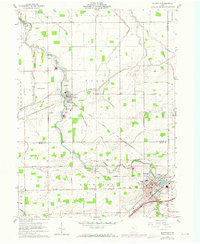
1960 Map of Bluffton
USGS Topo · Published 1961About this map
The Ottawa Indian Treaty Boundary cuts across the northwest corner of this landscape, a geometric reminder of early frontier negotiations amidst the modern agricultural grid of Allen and Putnam counties. The village of Bluffton anchors the southeast, centered around Bluffton College and the New York Chicago and St Louis RR. To the north, the town of Pandora sits along Riley Creek, which meanders through the township of Riley alongside the Akron Canton and Youngstown Railroad.
Find a feature on this map
43 named features on this map. Tap any name to fly to it.
Don’t see what you’re looking for? This feature index may not catch every label — zoom into the map to look around manually.
Map Details
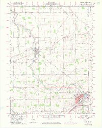
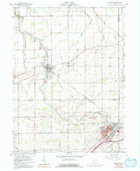
Editions of this 1960 Bluffton Map
4 editions found
Other maps of this area

1906 · Columbus Grove
USGS Topo · 1:62,500

1907 · Bluffton
USGS Topo · 1:62,500

1908 · Columbus Grove
USGS Topo · 1:62,500

1908 · Ottawa
USGS Topo · 1:62,500

1950 · Marion
USGS Topo · 1:250,000

1953 · Fort Wayne
USGS Topo · 1:250,000

1953 · Muncie
USGS Topo · 1:250,000

1956 · Muncie
USGS Topo · 1:250,000

1956 · Fort Wayne
USGS Topo · 1:250,000

1956 · Toledo
USGS Topo · 1:250,000