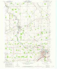
1960 Map of Bluffton
USGS Topo · Published 1973About this map
The agrarian landscape of Riley Creek defines this corridor across Putnam and Allen counties during the early 1960s. The village of Pandora sits at a bend in the creek, connected to the larger hub of Bluffton to the south. This area is characterized by deep-rooted religious and educational institutions, including Bluffton College and several rural sanctuaries such as St Johns Ch and the Mennonite Ch. Transportation networks are well-established, featuring the Norfolk and Western and the Ac&Y rail lines that served the region's agricultural economy.
Find a feature on this map
40 named features on this map. Tap any name to fly to it.
Don’t see what you’re looking for? This feature index may not catch every label — zoom into the map to look around manually.
Map Details
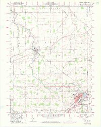
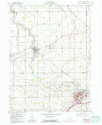
Editions of this 1960 Bluffton Map
4 editions found

Other maps of this area

1906 · Columbus Grove
USGS Topo · 1:62,500

1907 · Bluffton
USGS Topo · 1:62,500

1908 · Columbus Grove
USGS Topo · 1:62,500

1908 · Ottawa
USGS Topo · 1:62,500

1950 · Marion
USGS Topo · 1:250,000

1953 · Fort Wayne
USGS Topo · 1:250,000

1953 · Muncie
USGS Topo · 1:250,000

1956 · Muncie
USGS Topo · 1:250,000

1956 · Fort Wayne
USGS Topo · 1:250,000

1956 · Toledo
USGS Topo · 1:250,000