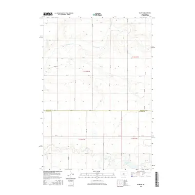
2015 Map of Blunt SE
USGS Topo · Published 2015About this map
Medicine Knoll Cr winds through the northern portion of this prairie landscape, defining the topography across the boundary of Sully Co and Hughes Co. This 2015 survey illustrates the section-line road network characteristic of the Great Plains, where routes like 317th Ave and 194th St create a rigid grid across the undulating terrain. To the south, the hydrology shifts toward stagnant basins, notably Swanson Lake and Woodruff Lake, which serve as critical water markers in an area otherwise dominated by agricultural parcels. A singular residential or agricultural node, Pearson Pl, stands out along the western edge, providing a specific point of interest for researchers tracing 21st-century land use and property holdings in central South Dakota.
Find a feature on this map
24 named features on this map. Tap any name to fly to it.
Don’t see what you’re looking for? This feature index may not catch every label — zoom into the map to look around manually.
Map Details
Editions of this 2015 Blunt SE Map
This is the sole edition of this map. No revisions or reprints were ever made.
Other maps of this area

1953 · Huron
USGS Topo · 1:250,000

1954 · Huron
USGS Topo · 1:250,000

1967 · Blunt
USGS Topo · 1:24,000

1967 · Blunt SE
USGS Topo · 1:24,000

1967 · De Grey NE
USGS Topo · 1:24,000
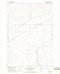
1967 · Blunt NW
USGS Topo · 1:24,000

1967 · Blunt NE
USGS Topo · 1:24,000
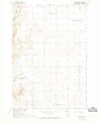
1967 · De Grey NW
USGS Topo · 1:24,000

1968 · Harrold NW
USGS Topo · 1:24,000

1968 · Harrold
USGS Topo · 1:24,000