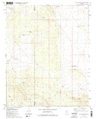
1980 Map of Blye Canyon SE
USGS Topo · Published 1980About this map
Hydraulic engineering for livestock and survival defines this arid boundary between Mohave County and Yavapai County. The landscape is a network of water collection points, ranging from named landmarks like Greeley Dam and Lucky Dam to smaller cattle-watering features such as Jim Smith Tanks and Conejo Tank. These catchments, combined with the presence of a pipeline and a Corral, suggest a ranching economy reliant on carefully managed drainage basins.
Find a feature on this map
23 named features on this map. Tap any name to fly to it.
Don’t see what you’re looking for? This feature index may not catch every label — zoom into the map to look around manually.
Map Details
Editions of this 1980 Blye Canyon SE Map
3 editions found
Other maps of this area

1886 · Diamond Creek
USGS Topo · 1:250,000

1892 · Diamond Creek
USGS Topo · 1:250,000

1948 · Williams
USGS Topo · 1:250,000

1954 · Williams
USGS Topo · 1:250,000

1956 · Williams
USGS Topo · 1:250,000

1960 · Williams
USGS Topo · 1:250,000

1961 · Williams
USGS Topo · 1:250,000
1980 · Fort Rock Ranch
USGS Topo · 1:24,000
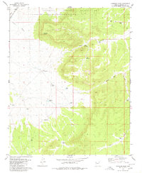
1980 · Cherokee Point
USGS Topo · 1:24,000
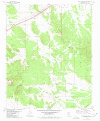
1980 · Cross Mountain
USGS Topo · 1:24,000