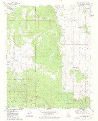
1980 Map of Blye Canyon SE
USGS Topo · Published 1980About this map
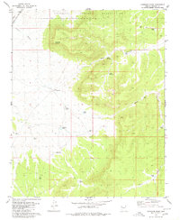
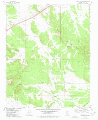
The rugged boundary between Mohave County and Yavapai County defines this Arizona landscape, where the management of water is the primary signature of human presence. Scattered across the arid terrain is a complex network of improvements designed to capture and store seasonal runoff, ranging from Greeley Dam and Aic Dam in the north to Corner Dam and Dam No 1 in the south. These features, often named for local figures or geological traits, reveal the infrastructure necessary for ranching and survival in the high desert.
Find a feature on this map
25 named features on this map. Tap any name to fly to it.
Don’t see what you’re looking for? This feature index may not catch every label — zoom into the map to look around manually.
Map Details
Editions of this 1980 Blye Canyon SE Map
3 editions found
Other maps of this area

1886 · Diamond Creek
USGS Topo · 1:250,000

1892 · Diamond Creek
USGS Topo · 1:250,000

1948 · Williams
USGS Topo · 1:250,000

1954 · Williams
USGS Topo · 1:250,000

1956 · Williams
USGS Topo · 1:250,000

1960 · Williams
USGS Topo · 1:250,000

1961 · Williams
USGS Topo · 1:250,000
1980 · Fort Rock Ranch
USGS Topo · 1:24,000
1980 · Cherokee Point
USGS Topo · 1:24,000
1980 · Cross Mountain
USGS Topo · 1:24,000