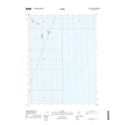
2018 Map of Blying Sound C-7 SW
USGS Topo · Published 2018About this map
Chiswell Islands stand as the primary topographical features in this offshore study of the Pacific Ocean within the Kenai Peninsula Borough. The map focuses on the rocky outcroppings and scattered landmasses that define this maritime environment, including the prominent Chiswell Island and the isolated Beehive Island to the northwest. Further south, the landscape is marked by smaller maritime hazards and landmarks such as Lone Rock and Seal Rocks. This 2018 survey provides a clear view of the complex bathymetry and small island chains that dominate this portion of the Alaskan coast, delineating the section lines and township boundaries of t6s r2w, t7s r2w, and t8s r2w across the open water.
Find a feature on this map
10 named features on this map. Tap any name to fly to it.
Don’t see what you’re looking for? This feature index may not catch every label — zoom into the map to look around manually.
Map Details
Editions of this 2018 Blying Sound C-7 SW Map
This is the sole edition of this map. No revisions or reprints were ever made.
Other maps of this area

1946 · Blying Sound
USGS Topo · 1:250,000

1951 · Blying Sound
USGS Topo · 1:250,000
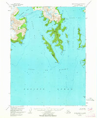
1951 · Blying Sound C-8
USGS Topo · 1:63,360
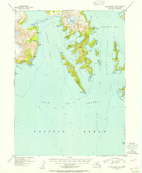
1952 · Blying Sound C-8
USGS Topo · 1:63,360
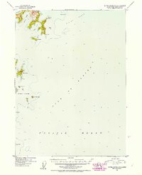
1952 · Blying Sound C-7
USGS Topo · 1:63,360

1953 · Blying Sound
USGS Topo · 1:250,000
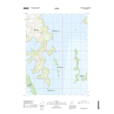
2017 · Blying Sound C-8 NE
USGS Topo · 1:25,000
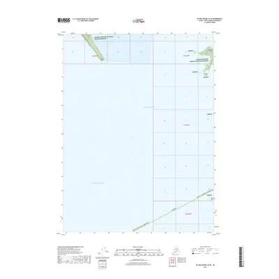
2017 · Blying Sound C-8 SE
USGS Topo · 1:25,000
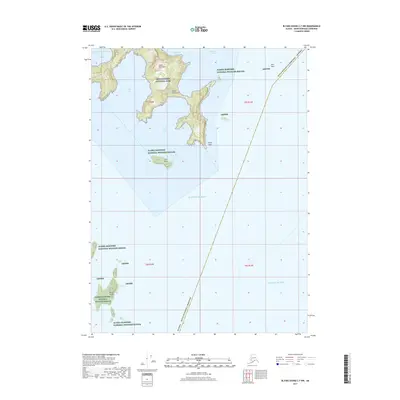
2017 · Blying Sound C-7 NW
USGS Topo · 1:25,000
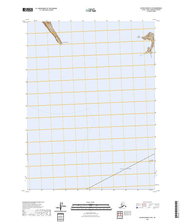
2024 · Blying Sound C-8 SE
USGS Topo · 1:25,000