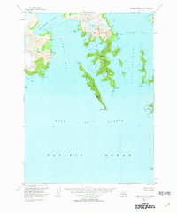
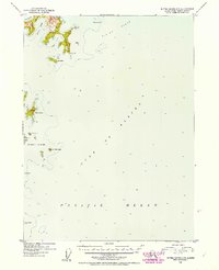
1951 Map of Blying Sound C-8
USGS Topo · Published 1964About this map
Harris Peninsula and the surrounding fjords of the Kenai Peninsula are documented here just after the mid-century, based on 1950 aerial photography and 1951 field annotations. This coastal environment is defined by deep inlets and protected passages like Granite Passage and Dora Passage, which separate the mainland from major landforms like Granite Island and Harbor Island. The map records numerous vertical angle bench marks (VABM) such as VABM Granite 1000 and VABM Harris 135, which served as critical navigation and surveying points along this complex coastline. From the sheltered Northwestern Lagoon to the exposed Granite Cape, the survey captures the relationship between the glaciated terrain and the open waters of the Gulf of Alaska. Marine hazards and landmarks like Seal Rocks and the Chiswell Islands anchor the southern reaches of the quadrangle.
Find a feature on this map
38 named features on this map. Tap any name to fly to it.
Don’t see what you’re looking for? This feature index may not catch every label — zoom into the map to look around manually.
Map Details
Editions of this 1951 Blying Sound C-8 Map
2 editions found
Other maps of this area

1946 · Blying Sound
USGS Topo · 1:250,000

1950 · Blying Sound D-7
USGS Topo · 1:63,360

1951 · Blying Sound
USGS Topo · 1:250,000

1951 · Seldovia
USGS Topo · 1:250,000
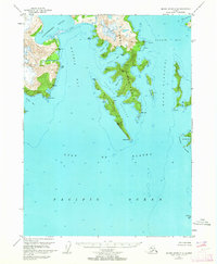
1951 · Blying Sound C-8
USGS Topo · 1:63,360
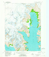
1951 · Blying Sound D-8
USGS Topo · 1:63,360

1951 · Blying Sound D-7
USGS Topo · 1:63,360

1951 · Seldovia D-1
USGS Topo · 1:63,360
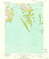
1952 · Blying Sound C-8
USGS Topo · 1:63,360
1952 · Blying Sound C-7
USGS Topo · 1:63,360