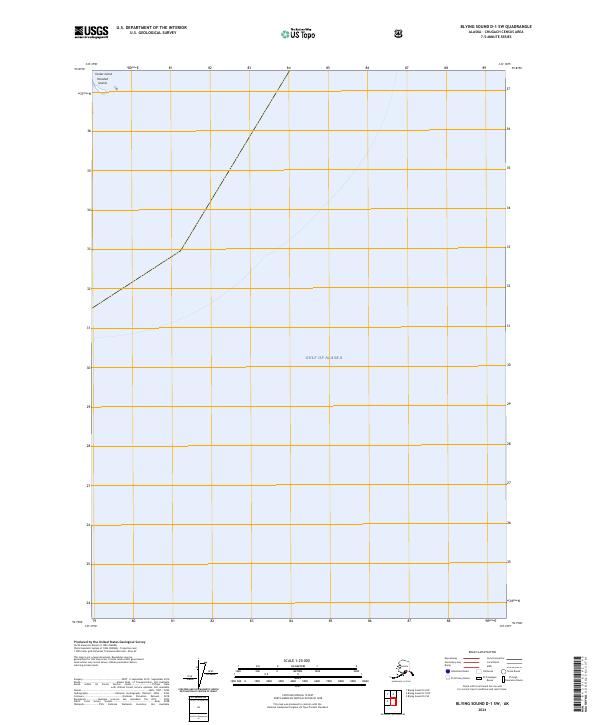
2024 Map of Blying Sound D-1 SW
USGS Topo · Published 2024About this map
The Gulf of Alaska dominates this coastal survey, where the open sea meets the rugged maritime fringes of the Chugach Census Area. The map highlights a remote archipelago including the Wooded Islands and the smaller, distinct landmass of Tanker Island located in the northwest quadrant. These features represent critical navigational landmarks at the mouth of Blying Sound. Land boundaries are defined by the Public Land Survey System, specifically marking t3s r12e and t4s r12e. The absence of roads or established settlements on these islands underscores the isolated nature of the Kenai Peninsula coastline, where the landscape is shaped primarily by the forces of the North Pacific and the boundaries of the Chugach National Forest area.
Find a feature on this map
23 named features on this map. Tap any name to fly to it.
Don’t see what you’re looking for? This feature index may not catch every label — zoom into the map to look around manually.
Map Details
Editions of this 2024 Blying Sound D-1 SW Map
This is the sole edition of this map. No revisions or reprints were ever made.
Other maps of this area

1946 · Blying Sound
USGS Topo · 1:250,000

1951 · Blying Sound
USGS Topo · 1:250,000

1951 · Blying Sound D-1 and D-2
USGS Topo · 1:63,360
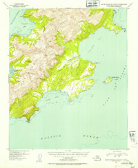
1953 · Blying Sound D-1 and D-2
USGS Topo · 1:63,360

1953 · Blying Sound
USGS Topo · 1:250,000
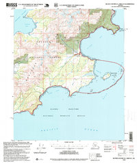
1995 · Blying Sound D-1 and D-2
USGS Topo · 1:63,360
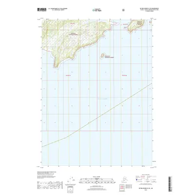
2018 · Blying Sound D-2 SE
USGS Topo · 1:25,000
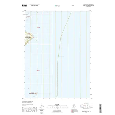
2018 · Blying Sound D-1 NW
USGS Topo · 1:25,000
2018 · Blying Sound D-1 SW
USGS Topo · 1:25,000
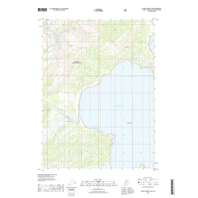
2018 · Blying Sound D-2 NE
USGS Topo · 1:25,000