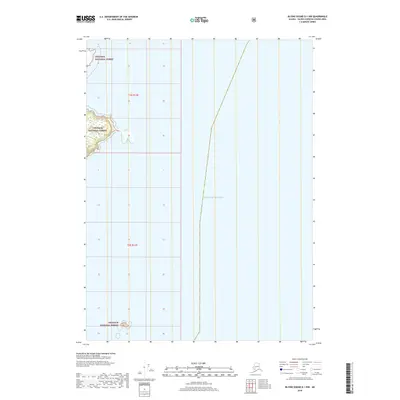
2018 Map of Blying Sound D-1 NW
USGS Topo · Published 2018About this map
The coastal fringes of the Chugach National Forest meet the expansive waters of the Gulf of Alaska in this 2018 survey. This map covers a primarily maritime environment within the Valdez-Cordova Census Area, where rocky outcroppings and rugged shorelines are documented through the Public Land Survey System grids of t2s r12e and t3s r12e. The cartography emphasizes the intersection of federally managed wilderness and the open sea, providing detailed hydrography and elevation contours for the sparse terrestrial portions of the quadrangle. While the majority of the area is water, the small landmasses shown are part of one of the nation's largest national forests, highlighting the isolated and preserved character of this Alaskan coastline.
Find a feature on this map
4 named features on this map. Tap any name to fly to it.
Don’t see what you’re looking for? This feature index may not catch every label — zoom into the map to look around manually.
Map Details
Editions of this 2018 Blying Sound D-1 NW Map
This is the sole edition of this map. No revisions or reprints were ever made.
Other maps of this area

1946 · Blying Sound
USGS Topo · 1:250,000

1951 · Blying Sound
USGS Topo · 1:250,000

1951 · Seward
USGS Topo · 1:250,000

1951 · Seward A-2
USGS Topo · 1:63,360

1951 · Blying Sound D-1 and D-2
USGS Topo · 1:63,360

1951 · Seward A-1
USGS Topo · 1:63,360

1953 · Seward A-2
USGS Topo · 1:63,360

1953 · Seward A-1
USGS Topo · 1:63,360
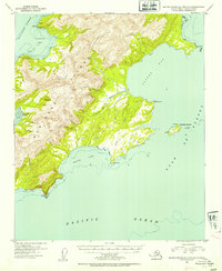
1953 · Blying Sound D-1 and D-2
USGS Topo · 1:63,360

1953 · Blying Sound
USGS Topo · 1:250,000