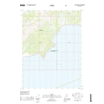
2018 Map of Blying Sound D-2 SW
USGS Topo · Published 2018About this map
The coastal wilderness of the Chugach National Forest meets the open waters of the Gulf of Alaska on this 2018 survey. The landscape is defined by steep, glaciated terrain and dramatic coastal drainages, including the aptly named Tortuous Cr and Deception Cr. The transition from the high interior peaks to the maritime environment is protected within the Alaska Maritime National Wildlife Refuge, which encompasses the jagged shoreline and several small unnamed islands. The mapping of Slide Cr and Jeanie Cr highlights the complex network of mountain streams that carve through this unorganized region of the Kenai Peninsula. This map documents the intersection of two major federal conservation areas in their modern state, preserving the uninhabited character of this stretch of the Alaskan coast.
Find a feature on this map
12 named features on this map. Tap any name to fly to it.
Don’t see what you’re looking for? This feature index may not catch every label — zoom into the map to look around manually.
Map Details
Editions of this 2018 Blying Sound D-2 SW Map
This is the sole edition of this map. No revisions or reprints were ever made.
Other maps of this area

1946 · Blying Sound
USGS Topo · 1:250,000

1951 · Blying Sound
USGS Topo · 1:250,000

1951 · Blying Sound D-1 and D-2
USGS Topo · 1:63,360
1953 · Blying Sound D-3
USGS Topo · 1:63,360
1953 · Blying Sound D-1 and D-2
USGS Topo · 1:63,360

1953 · Blying Sound
USGS Topo · 1:250,000
1995 · Blying Sound D-1 and D-2
USGS Topo · 1:63,360
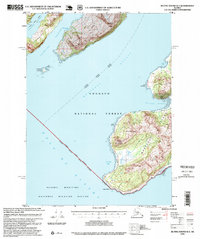
1995 · Blying Sound D-3
USGS Topo · 1:63,360
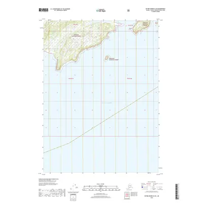
2018 · Blying Sound D-2 SE
USGS Topo · 1:25,000
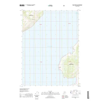
2018 · Blying Sound D-3 NE
USGS Topo · 1:25,000