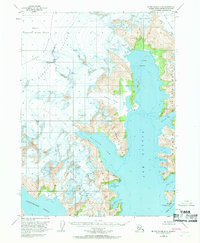
1951 Map of Blying Sound D-8
USGS Topo · Published 1969About this map
The Harding Icefield dominates the western interior of this coastal terrain, where massive rivers of ice descend through the Kenai Mountains toward the sea. This 1951 survey, based on 1950 aerial photography, documents the active glacial interface of the Kenai Peninsula before mid-century environmental shifts. The map illustrates a complex coastline defined by deep fjords and maritime hazards, featuring prominent ice-flows like the Bear Glacier and Holgate Glacier.
Find a feature on this map
27 named features on this map. Tap any name to fly to it.
Don’t see what you’re looking for? This feature index may not catch every label — zoom into the map to look around manually.
Map Details
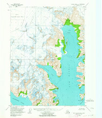
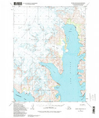
Editions of this 1951 Blying Sound D-8 Map
3 editions found
Other maps of this area

1944 · Kenai
USGS Topo · 1:250,000

1946 · Blying Sound
USGS Topo · 1:250,000

1950 · Kenai
USGS Topo · 1:250,000

1950 · Seward A-8
USGS Topo · 1:63,360

1950 · Blying Sound D-7
USGS Topo · 1:63,360

1950 · Seward A-7
USGS Topo · 1:63,360

1951 · Blying Sound
USGS Topo · 1:250,000

1951 · Seward
USGS Topo · 1:250,000

1951 · Seldovia
USGS Topo · 1:250,000

1951 · Seward A-7
USGS Topo · 1:63,360