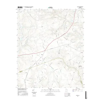
2017 Map of Blythe
USGS Topo · Published 2017About this map
Blythe and the surrounding Georgia countryside are mapped here along the Richmond and Burke County border. This modern study documents a landscape defined by its network of creeks and numerous family-named landmarks, such as Rachels Cem and Killebrew Cem. The settlement at Bath lies near the waters of Bath Br, while smaller locales like Ellwood dot the eastern edge of the quadrangle. Several ponds, including Union Mill Pond and Jolly Pond, indicate the historical use of local water resources for irrigation or industry. Further south, the map identifies the Pea Patch Aerodrome, a distinct local landmark in an area otherwise characterized by timberland and small family cemeteries like Tarver Cem and Saxon Cem.
Find a feature on this map
99 named features on this map. Tap any name to fly to it.
Don’t see what you’re looking for? This feature index may not catch every label — zoom into the map to look around manually.
Map Details
Editions of this 2017 Blythe Map
This is the sole edition of this map. No revisions or reprints were ever made.
Other maps of this area

1919 · Gough
USGS Topo · 1:62,500

1920 · Stapleton
USGS Topo · 1:62,500

1922 · Harlem
USGS Topo · 1:62,500

1922 · Hephzibah
USGS Topo · 1:62,500

1948 · Hephzibah
USGS Topo · 1:62,500

1948 · Harlem
USGS Topo · 1:62,500

1948 · Stapleton
USGS Topo · 1:62,500

1948 · Gough
USGS Topo · 1:62,500

1948 · Blythe
USGS Topo · 1:24,000

1948 · Harlem
USGS Topo · 1:24,000