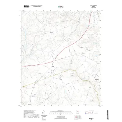
2020 Map of Blythe
USGS Topo · Published 2020About this map
Blythe and Hephzibah anchor this study of the borderlands between Richmond and Burke counties in eastern Georgia. The terrain is defined by a dense network of tributaries feeding into McBean Cr, including Leitners Br, Rachel Br, and Camp Br. This landscape preserves numerous family-named landmarks and historical burial sites, such as Tarver Cem, Killebrew Cem, and Rachels Cem, which provide significant data points for genealogical research in the rural corridor between Keysville and Ellwood.
Find a feature on this map
101 named features on this map. Tap any name to fly to it.
Don’t see what you’re looking for? This feature index may not catch every label — zoom into the map to look around manually.
Map Details
Editions of this 2020 Blythe Map
This is the sole edition of this map. No revisions or reprints were ever made.
Other maps of this area

1919 · Gough
USGS Topo · 1:62,500

1920 · Stapleton
USGS Topo · 1:62,500

1922 · Harlem
USGS Topo · 1:62,500

1922 · Hephzibah
USGS Topo · 1:62,500

1948 · Hephzibah
USGS Topo · 1:62,500

1948 · Harlem
USGS Topo · 1:62,500

1948 · Stapleton
USGS Topo · 1:62,500

1948 · Gough
USGS Topo · 1:62,500

1948 · Blythe
USGS Topo · 1:24,000

1948 · Harlem
USGS Topo · 1:24,000