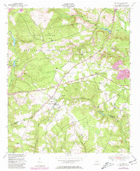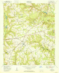
1953 Map of Blythe
USGS Topo · Published 1953About this map
The town of Blythe sits at the intersection of several regional thoroughfares, including the historic Louisville Road, serving as a central hub for this portion of the Georgia backcountry. This mid-century survey reveals a landscape of dispersed rural communities defined by an extensive network of small schoolhouses and churches, such as the Doyle Grove Church and School and the Adeline School. The northern portion of the map is dominated by the sprawling Camp Gordon Military Reservation, showing its early footprint and the numerous cemeteries, like Rachels Cemetery and Bath Cemetery, that remained within its boundaries. Transport and industry are marked by the Georgia and Florida rail line and scattered rural infrastructure including a Sawmill and several Windmills, illustrating the transition from local agrarian labor to the larger regional military and transportation networks.
Find a feature on this map
52 named features on this map. Tap any name to fly to it.
Don’t see what you’re looking for? This feature index may not catch every label — zoom into the map to look around manually.
Map Details
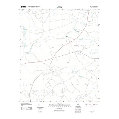
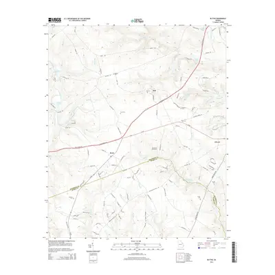
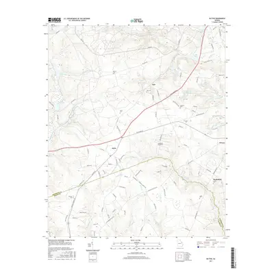
Editions of this 1953 Blythe Map
This is the sole edition of this map. No revisions or reprints were ever made.
Historical Maps of Augusta Through Time
7 maps found