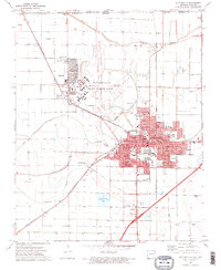
1972 Map of Blytheville
USGS Topo · Published 1974About this map
Blytheville Air Force Base dominates the northwestern landscape of this Arkansas Delta region, featuring an extensive runway system and a residential layout for service members adjacent to Gosnell. The area is characterized by a sophisticated drainage network essential for the local agricultural economy, with numerous man-made channels such as Ditch No 28 and Ditch No 37 feeding into the winding Pemiscot Bayou. This hydrologic engineering underscores the transformation of the Mississippi Alluvial Plain into productive farmland.
Find a feature on this map
89 named features on this map. Tap any name to fly to it.
Don’t see what you’re looking for? This feature index may not catch every label — zoom into the map to look around manually.
Map Details
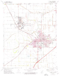
Editions of this 1972 Blytheville Map
2 editions found
Other maps of this area

1934 · Kennett
USGS Topo · 1:62,500

1939 · Blytheville
USGS Topo · 1:62,500

1940 · Kennett
USGS Topo · 1:62,500

1940 · Hayti
USGS Topo · 1:62,500

1941 · Manila
USGS Topo · 1:62,500

1953 · Memphis
USGS Topo · 1:250,000

1955 · Hayti
USGS Topo · 1:62,500

1955 · Blytheville
USGS Topo · 1:62,500

1956 · Kennett
USGS Topo · 1:62,500

1956 · Manila
USGS Topo · 1:62,500