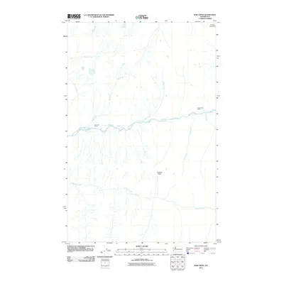
2011 Map of Bob Creek
USGS Topo · Published 2011About this map
The Queets River basin dominates this 2011 topographic study of the Olympic Peninsula, where a complex network of glacial and mountain streams carves through the landscape. This area is defined by its lack of modern road infrastructure, highlighting instead the natural drainages of Bob Creek, Pelton Creek, and Tshletshy Creek. The presence of the Bob Creek Shelter and Pelton Creek Shelter along the river banks suggests established backcountry access routes through the wilderness of Jefferson County. Rising above the deep river valleys, Tshletshy Ridge provides a significant geographic divide between the primary watercourses. This map captures the remote character of the region, emphasizing the hydrological patterns of tributaries like Paradise Creek and Harlow Creek as they feed into the larger river system.
Find a feature on this map
12 named features on this map. Tap any name to fly to it.
Don’t see what you’re looking for? This feature index may not catch every label — zoom into the map to look around manually.
Map Details
Editions of this 2011 Bob Creek Map
This is the sole edition of this map. No revisions or reprints were ever made.
Other maps of this area

1935 · Mount Olympus
USGS Topo · 1:62,500

1939 · Mount Tom
USGS Topo · 1:62,500

1942 · Mount Olympus
USGS Topo · 1:62,500

1947 · Mt Christie
USGS Topo · 1:62,500

1950 · Mt Christie
USGS Topo · 1:62,500

1956 · Mount Olympus
USGS Topo · 1:62,500

1956 · Kloochman Rock
USGS Topo · 1:62,500

1956 · Mount Tom
USGS Topo · 1:62,500
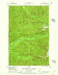
1957 · Mount Tom
USGS Topo · 1:62,500

1958 · Seattle
USGS Topo · 1:250,000