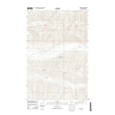
2014 Map of Bob Creek
USGS Topo · Published 2014About this map
The Queets River basin flows through the heart of Olympic National Park in this remote section of Jefferson County. The terrain is defined by the steep elevation changes of the Olympic Mountains, where high points like Tshletshy Ridge divide numerous drainages including Slate Cr, Harlow Cr, and Tshletshy Cr. Human presence is minimal, represented primarily by backcountry trail infrastructure such as the Bob Creek Shelter and Pelton Creek Shelter. The map illustrates a landscape of dense timber and complex hydrology, where Bob Cr and Paradise Cr contribute to the larger river system. This 2014 survey documents the wilderness character of the Olympic Peninsula, focusing on the natural watercourses and topography that have remained largely unchanged by modern development.
Find a feature on this map
16 named features on this map. Tap any name to fly to it.
Don’t see what you’re looking for? This feature index may not catch every label — zoom into the map to look around manually.
Map Details
Editions of this 2014 Bob Creek Map
This is the sole edition of this map. No revisions or reprints were ever made.
Other maps of this area

1935 · Mount Olympus
USGS Topo · 1:62,500

1939 · Mount Tom
USGS Topo · 1:62,500

1942 · Mount Olympus
USGS Topo · 1:62,500

1947 · Mt Christie
USGS Topo · 1:62,500

1950 · Mt Christie
USGS Topo · 1:62,500

1956 · Mount Olympus
USGS Topo · 1:62,500

1956 · Kloochman Rock
USGS Topo · 1:62,500

1956 · Mount Tom
USGS Topo · 1:62,500
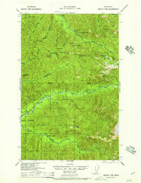
1957 · Mount Tom
USGS Topo · 1:62,500

1958 · Seattle
USGS Topo · 1:250,000