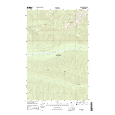
2017 Map of Bob Creek
USGS Topo · Published 2017About this map
Olympic National Park defines this corner of the Olympic Mountains in Jefferson County, where the hydrological system of the Queets River basin is meticulously documented. The terrain is characterized by the prominent Tshletshy Ridge and a network of steep-gradient tributaries including Paradise Cr, Pelton Cr, and the namesake Bob Creek. The map provides a high-resolution look at the undeveloped wilderness within the park's boundaries, showing how drainage patterns from peaks such as those near Slate Cr and Harlow Cr converge into the main river valley. This 2017 survey reflects the protected landscape's state before recent environmental shifts, noting the precise locations of creek confluences and the complex topography of the Alta Cr drainage.
Find a feature on this map
25 named features on this map. Tap any name to fly to it.
Don’t see what you’re looking for? This feature index may not catch every label — zoom into the map to look around manually.
Map Details
Editions of this 2017 Bob Creek Map
This is the sole edition of this map. No revisions or reprints were ever made.
Other maps of this area

1935 · Mount Olympus
USGS Topo · 1:62,500

1939 · Mount Tom
USGS Topo · 1:62,500

1942 · Mount Olympus
USGS Topo · 1:62,500

1947 · Mt Christie
USGS Topo · 1:62,500

1950 · Mt Christie
USGS Topo · 1:62,500

1956 · Mount Olympus
USGS Topo · 1:62,500

1956 · Kloochman Rock
USGS Topo · 1:62,500

1956 · Mount Tom
USGS Topo · 1:62,500
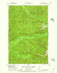
1957 · Mount Tom
USGS Topo · 1:62,500

1958 · Seattle
USGS Topo · 1:250,000