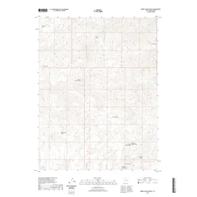
2020 Map of Bobby Canyon North
USGS Topo · Published 2020About this map
Bobby Canyon and its surrounding drainages define this portion of Grand County, where the topography transitions from elevated plateaus to deep, carved watercourses. The landscape is marked by several significant benches, including Coal Creek Bench in the northwest and the expansive Poverty Bench further south. These high-elevation flats provide a distinct contrast to the intricate canyon systems that branch through the area, such as the colorful Flat Nose George Canyon and the secluded Wildcow Canyon.
Find a feature on this map
13 named features on this map. Tap any name to fly to it.
Don’t see what you’re looking for? This feature index may not catch every label — zoom into the map to look around manually.
Map Details
Editions of this 2020 Bobby Canyon North Map
This is the sole edition of this map. No revisions or reprints were ever made.
Other maps of this area

1885 · East Tavaputs
USGS Topo · 1:250,000

1886 · Price River
USGS Topo · 1:250,000

1896 · Price River
USGS Topo · 1:250,000

1954 · Range Creek
USGS Topo · 1:62,500

1956 · Price
USGS Topo · 1:250,000

1956 · Grand Junction
USGS Topo · 1:250,000

1959 · Grand Junction
USGS Topo · 1:250,000

1960 · Price
USGS Topo · 1:250,000

1960 · Grand Junction
USGS Topo · 1:250,000

1962 · Grand Junction
USGS Topo · 1:250,000