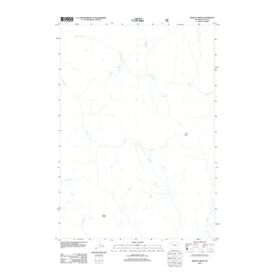
2012 Map of Bobcat Ridge
USGS Topo · Published 2012About this map
Bobcat Ridge and Pinyon Peak dominate this high-altitude landscape in the Teton County wilderness, as documented in this 2012 U.S. Geological Survey study. The area is defined by a dense network of mountain drainages, with Wolverine Cr and Coulter Cr carving deep paths through the high-country terrain. Unlike many maps of the region, this sheet shows a territory almost entirely free of human structures or developed roads, focusing instead on the hydrographic detail of the Pilgrim Cr headwaters and its E Fork Pilgrim Cr. The intricate contours provided by the U.S. Forest Service and the National Elevation Dataset reveal the complex drainage patterns feeding into Gravel Cr, offering an unfiltered look at the natural hydrology of this remote corner of Wyoming before any modern encroachment.
Find a feature on this map
7 named features on this map. Tap any name to fly to it.
Don’t see what you’re looking for? This feature index may not catch every label — zoom into the map to look around manually.
Map Details
Editions of this 2012 Bobcat Ridge Map
This is the sole edition of this map. No revisions or reprints were ever made.
Other maps of this area
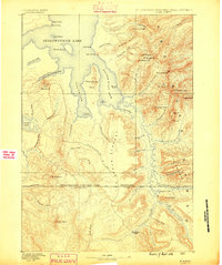
1885 · Lake
USGS Topo · 1:125,000
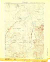
1886 · Shoshone
USGS Topo · 1:125,000
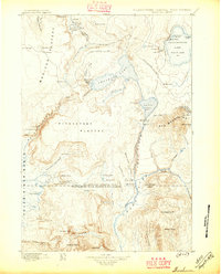
1888 · Shoshone
USGS Topo · 1:125,000
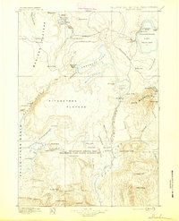
1895 · Shoshone
USGS Topo · 1:125,000
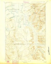
1895 · Lake
USGS Topo · 1:125,000
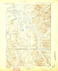
1896 · Lake
USGS Topo · 1:125,000
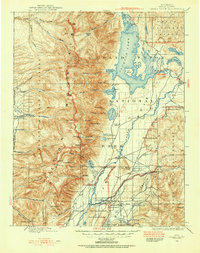
1899 · Grand Teton
USGS Topo · 1:125,000
1901 · Shoshone
USGS Topo · 1:125,000
1901 · Lake
USGS Topo · 1:125,000
1901 · Grand Teton
USGS Topo · 1:125,000