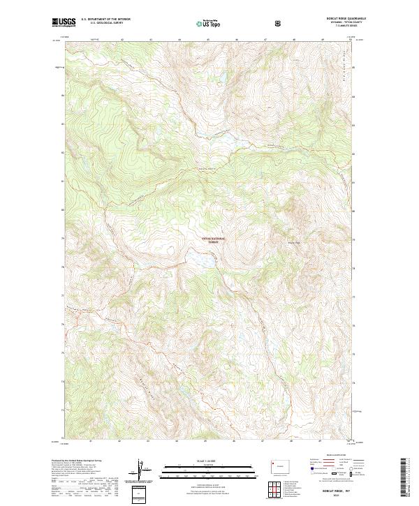
2021 Map of Bobcat Ridge
USGS Topo · Published 2021About this map
Teton National Forest encompasses this high-elevation landscape, where a sophisticated network of pack trails facilitates movement through the drainage basins of the upper Snake River tributaries. Bobcat Ridge and Big Game Ridge dominate the topography, providing a massive physical framework for the headwaters of Pilgrim Cr and Whetstone Cr. The map details the specific routing of the Wolverine Creek Trl and the Wolverine Cutoff Trl, which follow the contours of the drainage divides.
Find a feature on this map
20 named features on this map. Tap any name to fly to it.
Don’t see what you’re looking for? This feature index may not catch every label — zoom into the map to look around manually.
Map Details
Editions of this 2021 Bobcat Ridge Map
This is the sole edition of this map. No revisions or reprints were ever made.
Other maps of this area

1885 · Lake
USGS Topo · 1:125,000

1886 · Shoshone
USGS Topo · 1:125,000

1888 · Shoshone
USGS Topo · 1:125,000

1895 · Shoshone
USGS Topo · 1:125,000

1895 · Lake
USGS Topo · 1:125,000

1896 · Lake
USGS Topo · 1:125,000

1899 · Grand Teton
USGS Topo · 1:125,000

1901 · Shoshone
USGS Topo · 1:125,000

1901 · Lake
USGS Topo · 1:125,000

1901 · Grand Teton
USGS Topo · 1:125,000