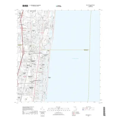
2018 Map of Boca Raton
USGS Topo · Published 2018About this map
Deerfield Beach and Pompano Beach anchor this coastal Florida corridor, where the land is defined by an intricate network of inland waterways and Atlantic shorelines. The Intracoastal Waterway runs parallel to the coast, passing through Lake Boca Raton and Lake Wyman before meeting the sea at Hillsboro Inlet. The map reveals a dense suburban character composed of numerous distinct neighborhoods such as Royal Oak Hills, The Cove, and Broward Highlands, illustrating the intensive residential development of the late 2010s.
Find a feature on this map
59 named features on this map. Tap any name to fly to it.
Don’t see what you’re looking for? This feature index may not catch every label — zoom into the map to look around manually.
Map Details
Editions of this 2018 Boca Raton Map
This is the sole edition of this map. No revisions or reprints were ever made.
Other maps of this area

1945 · Fort Lauderdale North
USGS Topo · 1:24,000

1946 · West Dixie Bend
USGS Topo · 1:24,000

1946 · Boca Raton
USGS Topo · 1:24,000

1947 · Delmar Farms
USGS Topo · 1:24,000

1949 · Fort Lauderdale North
USGS Topo · 1:24,000

1949 · West Dixie Bend
USGS Topo · 1:24,000

1949 · Pompano Beach
USGS Topo · 1:24,000

1949 · Delmar Farms
USGS Topo · 1:24,000

1950 · Boca Raton
USGS Topo · 1:24,000

1950 · Delray Beach
USGS Topo · 1:24,000