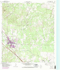
1964 Map of Boerne
USGS Topo · Published 1982About this map
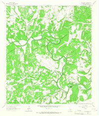
Boerne emerges as a growing Hill Country hub in this 1960s survey, with 1980s updates showing the urban expansion of the town core. The landscape is defined by the winding course of Cibolo Creek and its many tributaries, including Sabinas Creek and Postoak Creek. Cultural and community centers are well-documented, from the Boerne High Sch and Herff Park Fairground to the Pleasant Valley Community Center to the northeast. Local industry and land use are visible through numerous gravel pits and quarries, alongside family-named landmarks like Smith Hill and Malikoff Hill. Genealogists will find interest in rural sites such as Phillips Cem and the small settlements of Walnut Grove and Kreutzberg. Notable geographic features include the Cascade Cavern and the prominent height of Sabinas Mountain.
Find a feature on this map
46 named features on this map. Tap any name to fly to it.
Don’t see what you’re looking for? This feature index may not catch every label — zoom into the map to look around manually.
Map Details
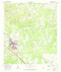
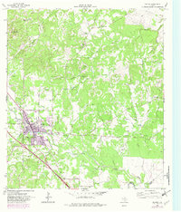
Editions of this 1964 Boerne Map
4 editions found

Other maps of this area

1953 · Otis Ridge
USGS Topo · 1:24,000

1953 · Van Raub
USGS Topo · 1:24,000

1954 · San Antonio
USGS Topo · 1:250,000

1956 · Comfort
USGS Topo · 1:62,500

1956 · Medina Lake
USGS Topo · 1:62,500

1957 · Boerne
USGS Topo · 1:62,500

1957 · San Antonio
USGS Topo · 1:250,000

1964 · Waring
USGS Topo · 1:24,000
1964 · Kendalia
USGS Topo · 1:24,000
1964 · Sisterdale
USGS Topo · 1:24,000