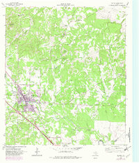
1964 Map of Boerne
USGS Topo · Published 1982About this map
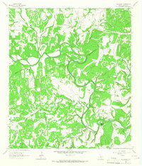
Boerne is the focal point of this Kendall County landscape, appearing as a growing township at the intersection of Cibolo Creek and Currey Creek. The mapping, based on 1964 data with 1979 photorevisions, highlights the expansion of the urban area shown in purple tint. Local history is anchored by sites like Herff Park Fairground and the Pleasant Valley Community Center, while the surrounding terrain is defined by prominent elevations such as Sabinas Mountain and Malikoff Hill.
Find a feature on this map
44 named features on this map. Tap any name to fly to it.
Don’t see what you’re looking for? This feature index may not catch every label — zoom into the map to look around manually.
Map Details
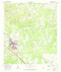
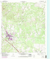
Editions of this 1964 Boerne Map
4 editions found

Other maps of this area

1953 · Otis Ridge
USGS Topo · 1:24,000

1953 · Van Raub
USGS Topo · 1:24,000

1954 · San Antonio
USGS Topo · 1:250,000

1956 · Comfort
USGS Topo · 1:62,500

1956 · Medina Lake
USGS Topo · 1:62,500

1957 · Boerne
USGS Topo · 1:62,500

1957 · San Antonio
USGS Topo · 1:250,000

1964 · Waring
USGS Topo · 1:24,000
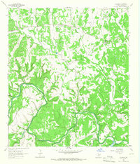
1964 · Kendalia
USGS Topo · 1:24,000
1964 · Sisterdale
USGS Topo · 1:24,000