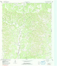
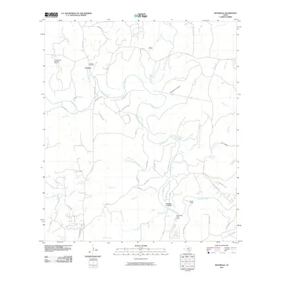
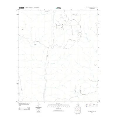
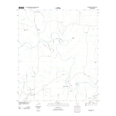
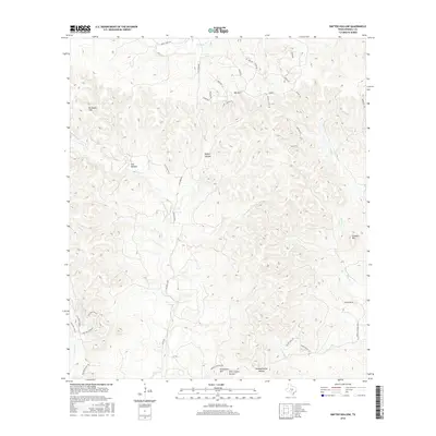
1964 Map of Sisterdale
USGS Topo · Published 1967About this map
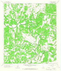
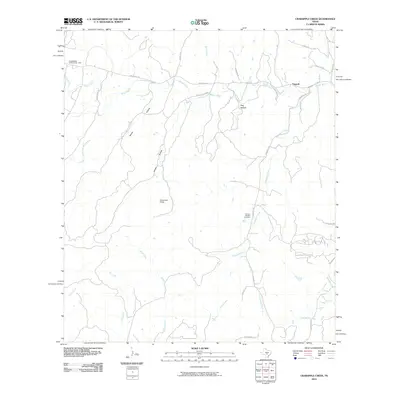
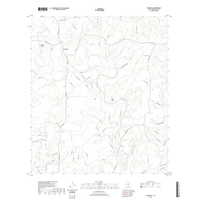
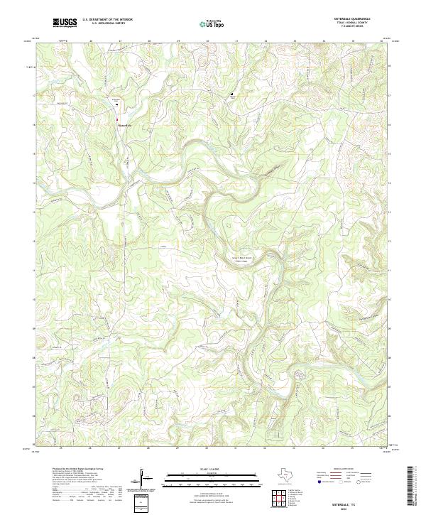
Sisterdale serves as the focal point of this mid-1960s survey, situated at the confluence of West Sister Creek and East Sister Creek before they join the winding Guadalupe River. The landscape is defined by the sharp relief of the Texas Hill Country, where drainage systems like Wasp Creek and Sabinas Creek carve through the limestone terrain. This era of the valley is marked by a mix of agricultural fencing, indicated by the red dashed lines throughout the quadrangle, and small-scale resource extraction at various quarries and gravel pits.
Find a feature on this map
34 named features on this map. Tap any name to fly to it.
Don’t see what you’re looking for? This feature index may not catch every label — zoom into the map to look around manually.
Map Details
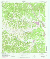
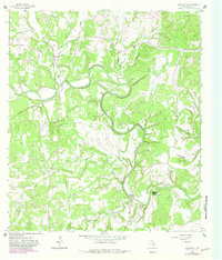
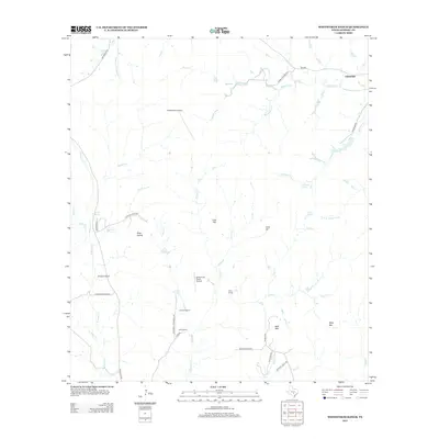
Editions of this 1964 Sisterdale Map
2 editions found
Historical Maps of Ammans Crossing Through Time
42 maps found
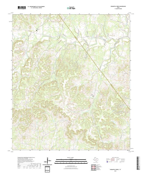
1963 Crabapple Creek
Kendall County, TX
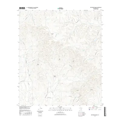
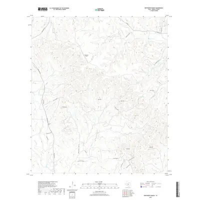
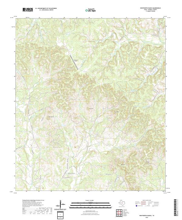
1963 Whitworth Ranch
Kendall County, TX
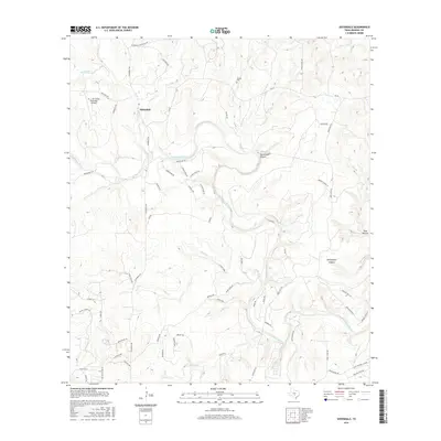
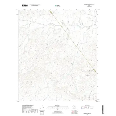
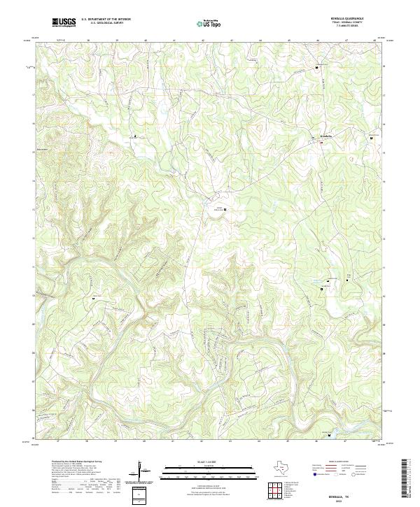
1964 Kendalia
Kendall County, TX
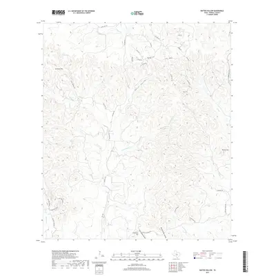
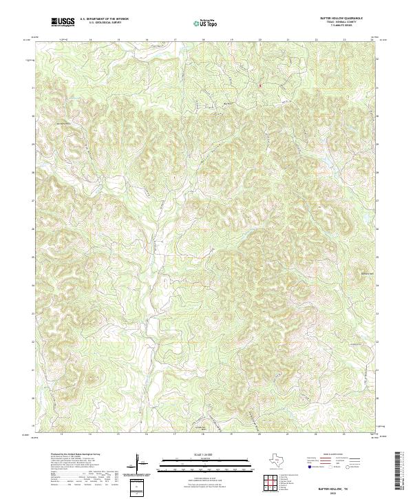
1964 Rafter Hollow
Kendall County, TX
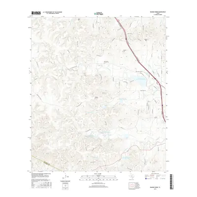
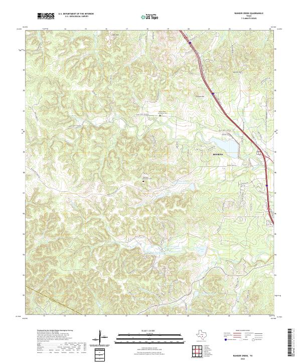
1964 Ranger Creek
Kendall County, TX
1964 Sisterdale
Kendall County, TX
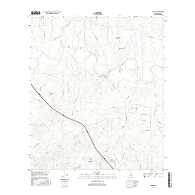
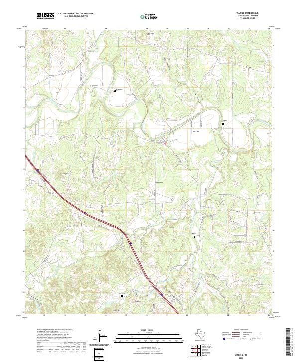
1964 Waring
Kendall County, TX
2010 Crabapple Creek
Kendall County, TX
2010 Kendalia
Kendall County, TX
2010 Rafter Hollow
Kendall County, TX
2010 Ranger Creek
Kendall County, TX
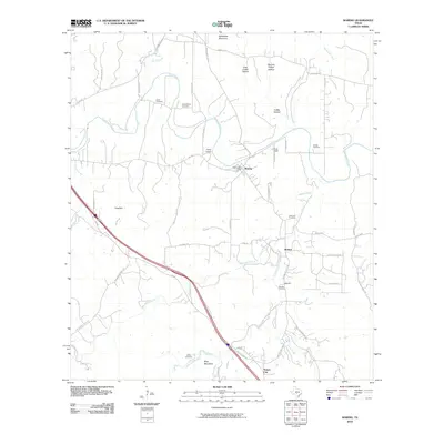
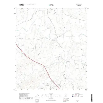
2010 Sisterdale
Kendall County, TX
2010 Waring
Kendall County, TX
2010 Whitworth Ranch
Kendall County, TX
2012 Crabapple Creek
Kendall County, TX
2012 Rafter Hollow
Kendall County, TX
2012 Whitworth Ranch
Kendall County, TX
2013 Kendalia
Kendall County, TX
2013 Ranger Creek
Kendall County, TX
2013 Sisterdale
Kendall County, TX
2013 Waring
Kendall County, TX
2016 Crabapple Creek
Kendall County, TX
2016 Kendalia
Kendall County, TX
2016 Rafter Hollow
Kendall County, TX
2016 Ranger Creek
Kendall County, TX
2016 Sisterdale
Kendall County, TX
2016 Waring
Kendall County, TX
2016 Whitworth Ranch
Kendall County, TX
2019 Crabapple Creek
Kendall County, TX
2019 Kendalia
Kendall County, TX
2019 Rafter Hollow
Kendall County, TX

2019 Ranger Creek
Kendall County, TX
2019 Sisterdale
Kendall County, TX
2019 Waring
Kendall County, TX
2019 Whitworth Ranch
Kendall County, TX
2022 Crabapple Creek
Kendall County, TX
2022 Kendalia
Kendall County, TX
2022 Rafter Hollow
Kendall County, TX
2022 Ranger Creek
Kendall County, TX
2022 Sisterdale
Kendall County, TX
2022 Waring
Kendall County, TX
2022 Whitworth Ranch
Kendall County, TX