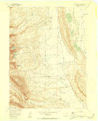
1956 Map of Boettcher Lake
USGS Topo · Published 1957About this map
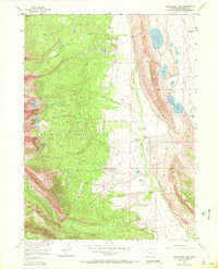
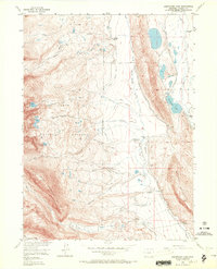
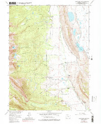
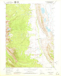
Shafer Ranch and Boettcher Ranch anchor this mid-century landscape in the North Park region, where ranching and early tourism intersected at the edge of the Routt National Forest. The map detail reveals a complex network of water rights and irrigation through numerous named ditches like the Shafer Ditch and Zirkel Ditch, drawing from the North Fork North Platte River. For local historians and genealogists, the inclusion of specific sites such as the Brown Homestead, Monahan Homestead, and even a solitary Grave near the Grizzly Helena Trail provides a rare look at individual landholdings and small-scale settlement patterns.
Find a feature on this map
54 named features on this map. Tap any name to fly to it.
Don’t see what you’re looking for? This feature index may not catch every label — zoom into the map to look around manually.
Map Details
Editions of this 1956 Boettcher Lake Map
8 editions found
Other maps of this area

1911 · Hahns Peak
USGS Topo · 1:125,000

1913 · Hahns Peak
USGS Topo · 1:125,000

1954 · Craig
USGS Topo · 1:250,000

1955 · Davis Peak
USGS Topo · 1:24,000

1955 · Independence Mountain
USGS Topo · 1:24,000

1955 · Lake John
USGS Topo · 1:24,000

1955 · Mount Zirkel
USGS Topo · 1:24,000

1955 · Pitchpine Mountain
USGS Topo · 1:24,000

1955 · Mount Ethel
USGS Topo · 1:24,000

1955 · Delaney Butte
USGS Topo · 1:24,000