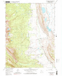
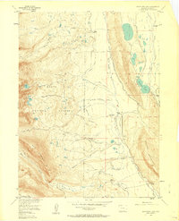
1956 Map of Boettcher Lake
USGS Topo · Published 1979About this map
High-altitude ranching and coal mining define this portion of the Routt National Forest during the mid-1950s. The landscape is dominated by the North Fork North Platte River and an intricate network of man-made irrigation channels, including the Little Nellie Ditch and the Shafer Ditch. These water systems supported a series of family-named holdings such as the Shafer Ranch, Boettcher Ranch, and the Brown Homestead. The presence of the Monahan Coal Mine (Aband) and a Grave near the river suggests a history of both industry and isolated settlement in the shadows of Bear Mountain. Recreational interests are evident at the Fort Boettcher (Resort), while a network of primitive paths like the Fryingpan Trail and Stormy Trail provided access to the high peaks and secluded waters of Blue Lake.
Find a feature on this map
59 named features on this map. Tap any name to fly to it.
Don’t see what you’re looking for? This feature index may not catch every label — zoom into the map to look around manually.
Map Details
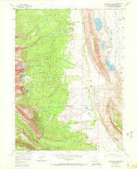
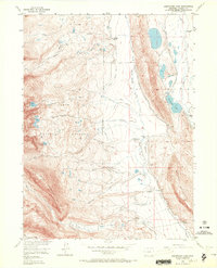
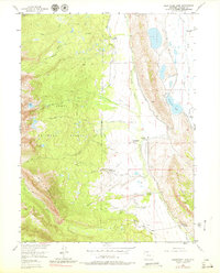
Editions of this 1956 Boettcher Lake Map
8 editions found
Other maps of this area

1911 · Hahns Peak
USGS Topo · 1:125,000

1913 · Hahns Peak
USGS Topo · 1:125,000

1954 · Craig
USGS Topo · 1:250,000

1955 · Davis Peak
USGS Topo · 1:24,000

1955 · Independence Mountain
USGS Topo · 1:24,000

1955 · Lake John
USGS Topo · 1:24,000

1955 · Mount Zirkel
USGS Topo · 1:24,000

1955 · Pitchpine Mountain
USGS Topo · 1:24,000

1955 · Mount Ethel
USGS Topo · 1:24,000

1955 · Delaney Butte
USGS Topo · 1:24,000