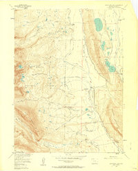
1956 Map of Boettcher Lake
USGS Topo · Published 1963About this map
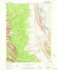
Shafer Ranch and several family homesteads punctuate this mid-century landscape in Jackson County, where water management for high-altitude ranching is the dominant human imprint. The intricate network of irrigation channels, including the Briggs and Bohn Ditch, Zirkel Ditch, and Stormy Ditch, illustrates the complex engineering required to divert the North Fork North Platte River and its tributaries across the valley floor. To the west, the map transitions into the Routt National Forest, marked by the steep rise of Sheep Mountain and access points like Ute Pass. This era captures the area's mixed identity as a working ranching territory and a recreation destination, evidenced by the presence of Fort Boettcher (Resort) near Boettcher Lake. For the genealogist or local historian, the specific placement of the Monahan Homestead, Fliniau Homestead, and a Coal Mine (Aband) provides a precise record of 1950s land use and residency.
Find a feature on this map
59 named features on this map. Tap any name to fly to it.
Don’t see what you’re looking for? This feature index may not catch every label — zoom into the map to look around manually.
Map Details
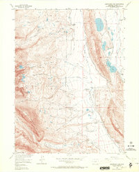
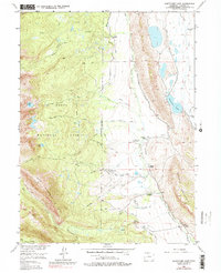
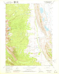
Editions of this 1956 Boettcher Lake Map
8 editions found
Other maps of this area

1911 · Hahns Peak
USGS Topo · 1:125,000

1913 · Hahns Peak
USGS Topo · 1:125,000

1954 · Craig
USGS Topo · 1:250,000

1955 · Davis Peak
USGS Topo · 1:24,000

1955 · Independence Mountain
USGS Topo · 1:24,000

1955 · Lake John
USGS Topo · 1:24,000

1955 · Mount Zirkel
USGS Topo · 1:24,000

1955 · Pitchpine Mountain
USGS Topo · 1:24,000

1955 · Mount Ethel
USGS Topo · 1:24,000

1955 · Delaney Butte
USGS Topo · 1:24,000