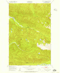
1950 Map of Bogachiel Peak
USGS Topo · Published 1956About this map
Sol Duc Hot Springs and the Soleduck Ranger Sta serve as the primary human outposts in this 1950 high-elevation survey of the Olympic interior. The landscape is defined by the headwaters of the Soleduck River and the Bogachiel River, where the terrain rises sharply to the 5,474-foot summit of Bogachiel Peak. This era of the park's management is visible through a network of remote infrastructure, including the Deer Lake Shelter, Canyon Creek Shelter, and a Lookout Tower positioned for fire overwatch.
Find a feature on this map
39 named features on this map. Tap any name to fly to it.
Don’t see what you’re looking for? This feature index may not catch every label — zoom into the map to look around manually.
Map Details
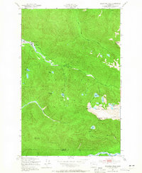
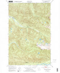
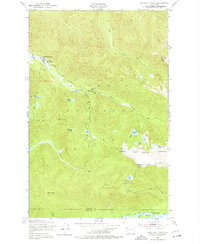
Editions of this 1950 Bogachiel Peak Map
4 editions found
Other maps of this area

1918 · Lake Crescent
USGS Topo · 1:62,500

1919 · Port Crescent
USGS Topo · 1:62,500

1922 · Lake Crescent
USGS Topo · 1:62,500

1935 · Mount Olympus
USGS Topo · 1:62,500

1939 · Mount Tom
USGS Topo · 1:62,500

1942 · Mount Olympus
USGS Topo · 1:62,500

1950 · Mount Muller
USGS Topo · 1:24,000

1950 · Lake Sutherland
USGS Topo · 1:24,000

1950 · Lake Crescent
USGS Topo · 1:24,000

1950 · Slide Peak
USGS Topo · 1:24,000