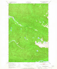
1950 Map of Bogachiel Peak
USGS Topo · Published 1965About this map
Sol Duc Hot Springs and the Soleduck Ranger Sta. anchor the northwestern corner of this mid-century survey, marking a primary entry point into the wilderness. The terrain is defined by the sharp separation between three major river systems: the Soleduck River, the Bogachiel River, and the Hoh River. A complex network of trails, including the Soleduck Trail and Hoh Trail, facilitates movement through the high country, connecting several remote outposts like the Canyon Creek Shelter and Olympus Guard Sta.
Find a feature on this map
41 named features on this map. Tap any name to fly to it.
Don’t see what you’re looking for? This feature index may not catch every label — zoom into the map to look around manually.
Map Details
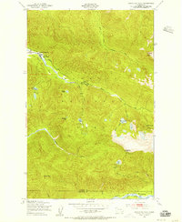
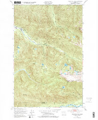
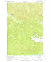
Editions of this 1950 Bogachiel Peak Map
4 editions found
Other maps of this area

1918 · Lake Crescent
USGS Topo · 1:62,500

1919 · Port Crescent
USGS Topo · 1:62,500

1922 · Lake Crescent
USGS Topo · 1:62,500

1935 · Mount Olympus
USGS Topo · 1:62,500

1939 · Mount Tom
USGS Topo · 1:62,500

1942 · Mount Olympus
USGS Topo · 1:62,500

1950 · Mount Muller
USGS Topo · 1:24,000

1950 · Lake Sutherland
USGS Topo · 1:24,000

1950 · Lake Crescent
USGS Topo · 1:24,000

1950 · Slide Peak
USGS Topo · 1:24,000