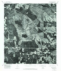
1976 Map of Bogalusa SW
USGS Topo · Published 1977About this map
Dense forest and timberland define this 1976 orthophotoquad on the outskirts of Bogalusa. This photographic survey provides a direct visual record of the landscape, contrasting the industrial and residential grid of the town with the surrounding topography. The imagery reveals the complex network of access roads and clearings that speak to the region's logging and paper-mill history. Because this is an orthophoto, it preserves the actual visual state of the land—showing the precise extent of vegetation and development that a traditional topographic map might simplify into generic symbols.
Find a feature on this map
1 named feature on this map. Tap any name to fly to it.
Don’t see what you’re looking for? This feature index may not catch every label — zoom into the map to look around manually.
Map Details
Editions of this 1976 Bogalusa SW Map
This is the sole edition of this map. No revisions or reprints were ever made.
Other maps of this area

1939 · Zona
USGS Topo · 1:31,680

1942 · Thigpen
USGS Topo · 1:31,680

1942 · Rio
USGS Topo · 1:31,680

1942 · Pools Bluff
USGS Topo · 1:31,680

1942 · Thomas
USGS Topo · 1:31,680

1949 · Bogalusa East
USGS Topo · 1:31,680

1949 · Angie
USGS Topo · 1:31,680

1949 · Bogalusa West
USGS Topo · 1:31,680

1950 · Crains Creek
USGS Topo · 1:31,680

1953 · Mobile
USGS Topo · 1:250,000