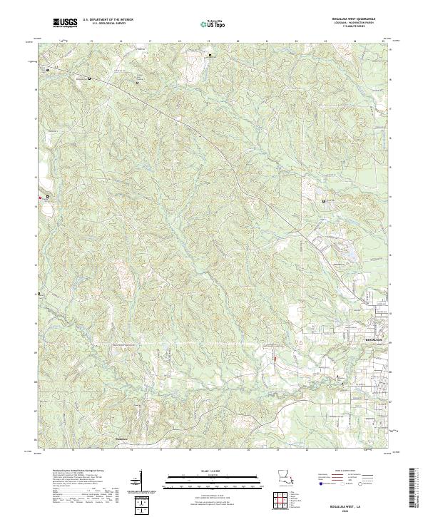
2024 Map of Bogalusa West
USGS Topo · Published 2024About this map
Jacksonville Springs and the winding course of Bogue Lusa Creek anchor the rural landscape west of Bogalusa. This area of Washington Parish is characterized by a dense network of family-named cemeteries and small settlements like Plainview, reflecting a history of distributed timber and agricultural communities. The terrain is defined by numerous drainage systems, including Peters Creek, Adams Creek, and Knights Creek, which create a complex topography of ridges and bottoms.
Find a feature on this map
101 named features on this map. Tap any name to fly to it.
Don’t see what you’re looking for? This feature index may not catch every label — zoom into the map to look around manually.
Map Details
Editions of this 2024 Bogalusa West Map
This is the sole edition of this map. No revisions or reprints were ever made.
Other maps of this area

1939 · Zona
USGS Topo · 1:31,680

1942 · Thigpen
USGS Topo · 1:31,680

1942 · Rio
USGS Topo · 1:31,680

1942 · Pools Bluff
USGS Topo · 1:31,680

1942 · Thomas
USGS Topo · 1:31,680

1949 · Bogalusa East
USGS Topo · 1:31,680

1949 · Angie
USGS Topo · 1:31,680

1949 · Bogalusa West
USGS Topo · 1:31,680

1950 · Crains Creek
USGS Topo · 1:31,680

1953 · Mobile
USGS Topo · 1:250,000