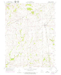
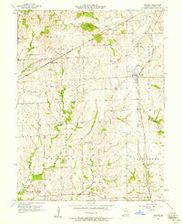
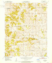
1957 Map of Bogard
USGS Topo · Published 1979About this map
Bogard serves as a central rail point in this Carroll County landscape, defined by the path of the Chicago Burlington And Quincy railroad. The map documents a rural agricultural community during the mid-20th century, where the small settlement of Mandeville and the rail-side Aalberg Siding provide glimpses into the local economy and transport network. The terrain is marked by the prominent Mound Bogard and drained by a complex system of waterways including Big Creek and Wakenda Creek. For genealogists, the map is particularly rich in family history markers, locating several small burial grounds such as Smith Cem, Ebenezer Cem, and Streets Cem. These cemeteries, along with local congregations at Mc Croskie Ch and the Church of Christ, provide a look at the social and religious centers that anchored these Missouri townships.
Find a feature on this map
27 named features on this map. Tap any name to fly to it.
Don’t see what you’re looking for? This feature index may not catch every label — zoom into the map to look around manually.
Map Details
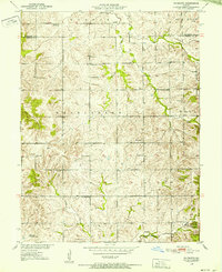
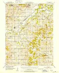
Editions of this 1957 Bogard Map
2 editions found
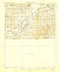
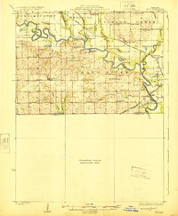
Other maps of this area

1889 · Lexington
USGS Topo · 1:125,000

1890 · Marshall
USGS Topo · 1:125,000

1892 · Marshall
USGS Topo · 1:125,000

1901 · Marshall
USGS Topo · 1:125,000
1924 · Dawn
USGS Topo · 1:62,500
1924 · Hale
USGS Topo · 1:62,500
1950 · Coloma
USGS Topo · 1:24,000
1950 · Plymouth
USGS Topo · 1:24,000
1951 · Utica
USGS Topo · 1:62,500
1951 · Carrollton East
USGS Topo · 1:24,000