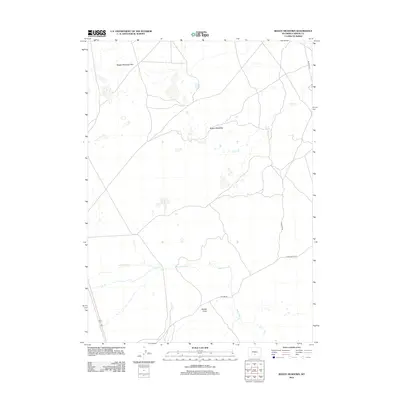
2012 Map of Boggy Meadows
USGS Topo · Published 2012About this map
Boggy Meadows Rim defines the northern elevation of this landscape in Carbon County, overlooking the expansive Boggy Meadows. This high-desert drainage area is characterized by intermittent water systems and isolated landmarks, suggesting a history of seasonal grazing and remote ranching operations. Water sources are critical but sparse, marked by Rendle Spring and the passage of Stone Cr. The southern portion of the quadrangle is bisected by the winding course of Separation Cr, which flows through the terrain near the transition into Rendle Draw. A few primary access routes, including Buzzard Rd and Stone Ranch Rd, provide the only major conduits through this quiet corner of the Wyoming backcountry.
Find a feature on this map
10 named features on this map. Tap any name to fly to it.
Don’t see what you’re looking for? This feature index may not catch every label — zoom into the map to look around manually.
Map Details
Editions of this 2012 Boggy Meadows Map
This is the sole edition of this map. No revisions or reprints were ever made.
Other maps of this area

1953 · Ferris
USGS Topo · 1:24,000

1953 · Riddle Cut
USGS Topo · 1:24,000

1953 · Rawlins NW
USGS Topo · 1:24,000

1954 · Rawlins
USGS Topo · 1:250,000

1955 · Casper
USGS Topo · 1:250,000

1956 · Rawlins Peak
USGS Topo · 1:62,500

1958 · Rawlins
USGS Topo · 1:250,000

1958 · Casper
USGS Topo · 1:250,000

1960 · Separation Rim
USGS Topo · 1:24,000

1960 · Boggy Meadows
USGS Topo · 1:24,000