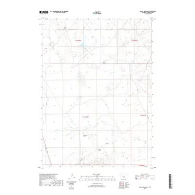
2017 Map of Boggy Meadows
USGS Topo · Published 2017About this map
Boggy Meadows Lake and the vast hydrologic network of Separation Cr define this high-desert portion of Carbon County. This survey illustrates a landscape of intermittent water sources and dramatic elevation changes, notably marked by the Boggy Meadows Rim and the expansive Separation Flats. The presence of Rendle Spring and its proximity to Rendle Draw highlights the vital importance of reliable water points in an area dominated by grazing and open range. Transportation is largely limited to the path of Buzzard Rd, which provides access through the various townships. This 2017 edition details the intricate drainage patterns of Stone Cr and other tributaries that cross the flatlands, offering a precise look at the modern topography of this remote section of Wyoming.
Find a feature on this map
14 named features on this map. Tap any name to fly to it.
Don’t see what you’re looking for? This feature index may not catch every label — zoom into the map to look around manually.
Map Details
Editions of this 2017 Boggy Meadows Map
This is the sole edition of this map. No revisions or reprints were ever made.
Other maps of this area

1953 · Ferris
USGS Topo · 1:24,000

1953 · Riddle Cut
USGS Topo · 1:24,000

1953 · Rawlins NW
USGS Topo · 1:24,000

1954 · Rawlins
USGS Topo · 1:250,000

1955 · Casper
USGS Topo · 1:250,000

1956 · Rawlins Peak
USGS Topo · 1:62,500

1958 · Rawlins
USGS Topo · 1:250,000

1958 · Casper
USGS Topo · 1:250,000

1960 · Separation Rim
USGS Topo · 1:24,000

1960 · Boggy Meadows
USGS Topo · 1:24,000