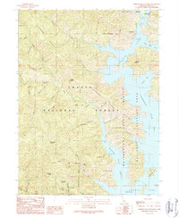
1990 Map of Bohemotash Mountain
USGS Topo · Published 1990About this map
Bohemotash Mountain and the high ridges of the Shasta National Forest dominate this landscape during the late twentieth century. This region of California is defined by the complex, branching waters of Shasta Lake, which creates prominent geographical features like the Salt Creek Inlet and Elmore Bay. The terrain transitions from the water's edge at Slaughterhouse Island to the steep elevations of Backbone Ridge.
Find a feature on this map
54 named features on this map. Tap any name to fly to it.
Don’t see what you’re looking for? This feature index may not catch every label — zoom into the map to look around manually.
Map Details
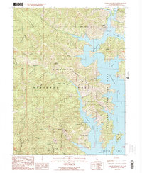
Editions of this 1990 Bohemotash Mountain Map
2 editions found
Other maps of this area

1890 · Red Bluff
USGS Topo · 1:250,000

1894 · Red Bluff
USGS Topo · 1:250,000

1901 · Redding
USGS Topo · 1:125,000

1913 · Weaverville
USGS Topo · 1:125,000

1944 · Redding
USGS Topo · 1:62,500

1944 · French Gulch
USGS Topo · 1:62,500

1946 · Lamoine
USGS Topo · 1:62,500

1946 · Redding
USGS Topo · 1:62,500

1948 · French Gulch
USGS Topo · 1:62,500

1950 · Schell Mtn
USGS Topo · 1:62,500