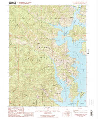
1990 Map of Bohemotash Mountain
USGS Topo · Published 1990About this map
Backbone Ridge dominates the vertical relief of this 1990 survey, rising sharply above the complex fingers of Shasta Lake. This landscape, part of the Shasta National Forest, reveals the intersection of industrial extraction and modern recreation. The western slopes are marked by historical mining activity, notably the Mammoth Mine, Clipper Mine, and Golinsky Mine, which trace the mineral-rich veins of the northern California mountains. To the east, the rising waters of the reservoir have transformed the terrain into a sprawling waterway. Deep inlets like the Big Backbone Creek Inlet and Salt Creek Inlet cut into the ridge, surrounding landmarks such as Slaughterhouse Island. The map records a moment where the land is managed for public use, indicated by the Lakeshore Campground and the Shasta - Trinity National Recreation Area boundary.
Find a feature on this map
54 named features on this map. Tap any name to fly to it.
Don’t see what you’re looking for? This feature index may not catch every label — zoom into the map to look around manually.
Map Details
Editions of this 1990 Bohemotash Mountain Map
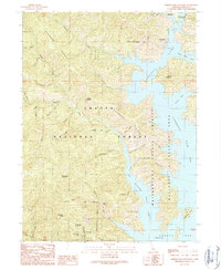
2 editions found
Other maps of this area

1890 · Red Bluff
USGS Topo · 1:250,000

1894 · Red Bluff
USGS Topo · 1:250,000

1901 · Redding
USGS Topo · 1:125,000

1913 · Weaverville
USGS Topo · 1:125,000

1944 · Redding
USGS Topo · 1:62,500

1944 · French Gulch
USGS Topo · 1:62,500

1946 · Lamoine
USGS Topo · 1:62,500

1946 · Redding
USGS Topo · 1:62,500

1948 · French Gulch
USGS Topo · 1:62,500

1950 · Schell Mtn
USGS Topo · 1:62,500