
1969 Map of Boise City NW
USGS Topo · Published 1971About this map
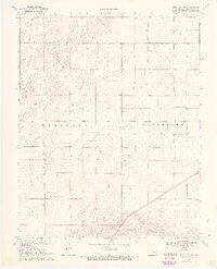
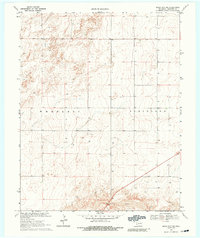
North Canadian River waters move across the southern reaches of this Cimarron County landscape, defining the topography of the Oklahoma Panhandle during the late 1960s. This survey, produced by the Geological Survey in cooperation with several state agencies, illustrates a sparsely populated region divided between the areas of Wheeless and Cleveland. The terrain is characterized by numerous wells and a network of section lines, reflecting the rural agricultural and ranching patterns of the High Plains. Photogrammetric methods from 1966 aerial photography captured the fine detail of fence and field lines, providing a high-resolution look at land use before any modern large-scale development changed the prairie character of this western frontier.
Find a feature on this map
3 named features on this map. Tap any name to fly to it.
Don’t see what you’re looking for? This feature index may not catch every label — zoom into the map to look around manually.
Map Details
Editions of this 1969 Boise City NW Map
3 editions found
Other maps of this area

1954 · Dalhart
USGS Topo · 1:250,000

1958 · Dalhart
USGS Topo · 1:250,000

1962 · Dalhart
USGS Topo · 1:250,000

1969 · Boise City
USGS Topo · 1:24,000

1969 · Boise City SW
USGS Topo · 1:24,000

1969 · Felt
USGS Topo · 1:24,000

1969 · Flagg Springs
USGS Topo · 1:24,000

1969 · Boise City SE
USGS Topo · 1:24,000

1969 · Felt NE
USGS Topo · 1:24,000

1969 · Kenton SE
USGS Topo · 1:24,000