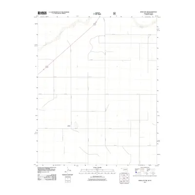
2011 Map of Boise City SW
USGS Topo · Published 2011About this map
Bertrand Cemetery serves as a quiet landmark in this corner of Cimarron County, situated amidst a geometric grid of rural section roads. The landscape is defined by the ephemeral drainage of Aqua Fria Creek as it winds northward toward the wider valley of the Beaver River. This high plains region near the Oklahoma-Texas border maintains a sparse settlement pattern, with the infrastructure primarily consisting of a systematic network of county roads like N0190 Rd and E0330 Rd. The map illustrates the persistent agricultural and ranching layout of the Panhandle, where water sources and family burial grounds provide the primary navigational and historical markers in an otherwise open terrain.
Find a feature on this map
16 named features on this map. Tap any name to fly to it.
Don’t see what you’re looking for? This feature index may not catch every label — zoom into the map to look around manually.
Map Details
Editions of this 2011 Boise City SW Map
This is the sole edition of this map. No revisions or reprints were ever made.
Other maps of this area

1954 · Dalhart
USGS Topo · 1:250,000

1958 · Dalhart
USGS Topo · 1:250,000

1962 · Dalhart
USGS Topo · 1:250,000

1969 · Boise City
USGS Topo · 1:24,000

1969 · Boise City NW
USGS Topo · 1:24,000

1969 · Boise City SW
USGS Topo · 1:24,000

1969 · Felt
USGS Topo · 1:24,000

1969 · Boise City SE
USGS Topo · 1:24,000

1969 · Felt NE
USGS Topo · 1:24,000

1973 · Buffalo Springs
USGS Topo · 1:24,000