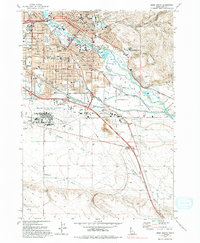
1972 Map of Boise South
USGS Topo · Published 1994About this map
Boise and Garden City are shown during a period of significant mid-century expansion, centered on the corridor of the Boise River. The landscape reveals a complex network of irrigation infrastructure including the Ridenbaugh Canal, New York Canal, and Warm Springs Canal, which supported the valley's development alongside the Union Pacific railroad. The map identifies key civic landmarks like the State Capitol, the Boise State College campus, and the State Penitentiary near the base of the foothills.
Find a feature on this map
80 named features on this map. Tap any name to fly to it.
Don’t see what you’re looking for? This feature index may not catch every label — zoom into the map to look around manually.
Map Details
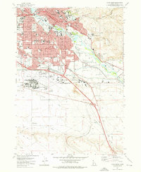
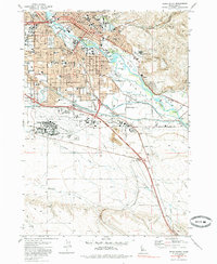
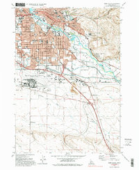
Editions of this 1972 Boise South Map
4 editions found
Other maps of this area

1892 · Boise
USGS Topo · 1:125,000

1892 · Bisuka
USGS Topo · 1:125,000

1894 · Bisuka
USGS Topo · 1:125,000

1897 · Boise
USGS Topo · 1:125,000

1949 · Robie Creek
USGS Topo · 1:24,000

1953 · Eagle
USGS Topo · 1:24,000

1953 · Cloverdale
USGS Topo · 1:24,000

1954 · Boise South
USGS Topo · 1:24,000

1954 · Boise North
USGS Topo · 1:24,000

1954 · Boise
USGS Topo · 1:62,500