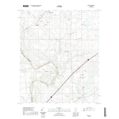
2020 Map of Boligee
USGS Topo · Published 2020About this map
Mount Hebron and Boligee anchor this Greene County landscape where the river economy and family legacy meet. The Tennessee-Tombigbee Waterway cuts a significant path through the terrain, bypassing traditional river features like Swilleys Bend and Clays Bluff. The area's ancestral roots are deeply visible through an extensive network of small burial grounds, including Morning Star Cem, Mount Zion Cem, and Saint Paul Cem.
Find a feature on this map
86 named features on this map. Tap any name to fly to it.
Don’t see what you’re looking for? This feature index may not catch every label — zoom into the map to look around manually.
Map Details
Editions of this 2020 Boligee Map
This is the sole edition of this map. No revisions or reprints were ever made.
Other maps of this area

1927 · Eutaw
USGS Topo · 1:48,000

1929 · Epes
USGS Topo · 1:48,000

1931 · Eutaw
USGS Topo · 1:62,500

1932 · Epes
USGS Topo · 1:62,500

1947 · Forkland
USGS Topo · 1:24,000

1949 · Forkland
USGS Topo · 1:24,000

1953 · Montgomery
USGS Topo · 1:250,000

1953 · Meridian
USGS Topo · 1:250,000

1956 · Montgomery
USGS Topo · 1:250,000

1957 · Meridian
USGS Topo · 1:250,000