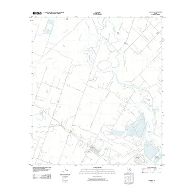
2010 Map of Boling
USGS Topo · Published 2010About this map
Boling and Iago anchor this landscape, where the meandering course of the San Bernard River and Caney Creek define the local geography. The area reflects a mix of agricultural tradition and industrial activity, notably represented by the Boling Oil Field and the Texas Gulf Incorporated Reservoir Dam near Newgulf. These sites point to a history of resource extraction and water management that has shaped the community's development over decades.
Find a feature on this map
49 named features on this map. Tap any name to fly to it.
Don’t see what you’re looking for? This feature index may not catch every label — zoom into the map to look around manually.
Map Details
Editions of this 2010 Boling Map
This is the sole edition of this map. No revisions or reprints were ever made.
Other maps of this area

1950 · Houston
USGS Topo · 1:250,000

1952 · Danciger
USGS Topo · 1:24,000

1952 · Pledger
USGS Topo · 1:24,000

1952 · Lane City
USGS Topo · 1:24,000

1953 · Needville
USGS Topo · 1:24,000

1953 · Guy
USGS Topo · 1:24,000

1953 · Kendleton
USGS Topo · 1:24,000

1953 · Wharton
USGS Topo · 1:24,000

1953 · Hungerford
USGS Topo · 1:24,000

1953 · Boling
USGS Topo · 1:24,000