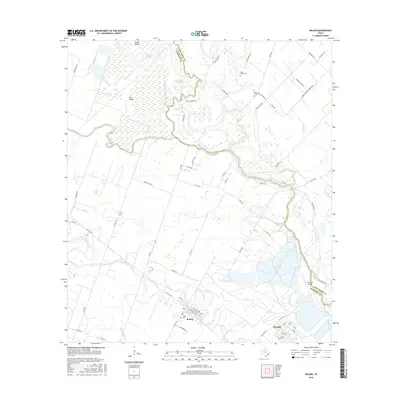
2016 Map of Boling
USGS Topo · Published 2016About this map
The San Bernard River defines the boundary between Wharton Co and Fort Bend Co, snaking through a landscape of dense wetlands and drainage sloughs. This coastal prairie terrain is marked by numerous bayous and seasonal water bodies such as Cypress Slough, Turkey Slough, and White Oak Slough, illustrating the intricate natural hydrology of the region. The settlement of Boling sits at the junction of several farm-to-market roads, serving as a hub for the surrounding agricultural and industrial lands.
Find a feature on this map
73 named features on this map. Tap any name to fly to it.
Don’t see what you’re looking for? This feature index may not catch every label — zoom into the map to look around manually.
Map Details
Editions of this 2016 Boling Map
This is the sole edition of this map. No revisions or reprints were ever made.
Other maps of this area
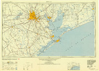
1950 · Houston
USGS Topo · 1:250,000
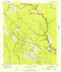
1952 · Danciger
USGS Topo · 1:24,000
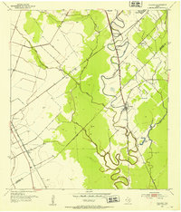
1952 · Pledger
USGS Topo · 1:24,000
1952 · Lane City
USGS Topo · 1:24,000
1953 · Needville
USGS Topo · 1:24,000
1953 · Guy
USGS Topo · 1:24,000
1953 · Kendleton
USGS Topo · 1:24,000
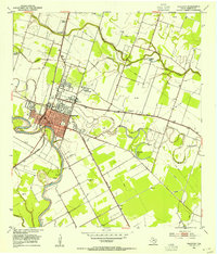
1953 · Wharton
USGS Topo · 1:24,000
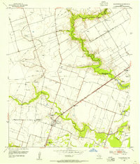
1953 · Hungerford
USGS Topo · 1:24,000
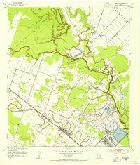
1953 · Boling
USGS Topo · 1:24,000