Loading...
Loading map...2022 Map of Boling
USGS Topo · Published 2022About this map
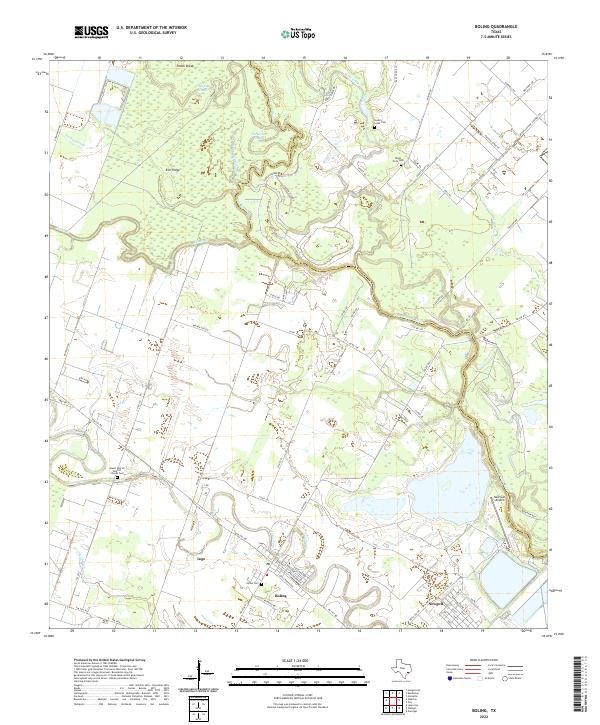
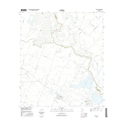
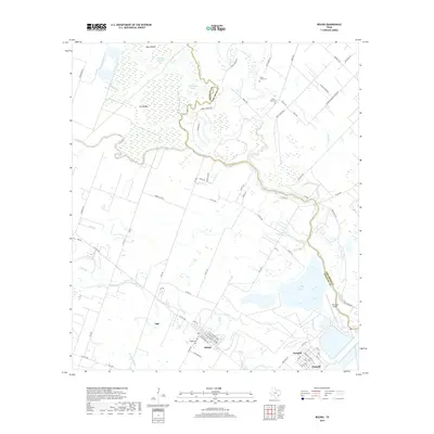
The San Bernard River meanders across this landscape, defining the boundary between Wharton and Fort Bend counties. This coastal prairie region is shaped by intricate water systems, including the wetland depressions of Cypress Slough, Turkey Slough, and the distinct oxbow of Horseshoe Slough. These natural features surround higher ground such as Elm Ridge, reflecting the traditional drainage patterns of the Texas Gulf Coast.
Find a feature on this map
75 named features on this map. Tap any name to fly to it.
Don’t see what you’re looking for? This feature index may not catch every label — zoom into the map to look around manually.
Map Details
Date Portrayed2022
Date Published2022
PublisherU.S. Geological Survey
Map TypeTopographic
Scale1:24,000
Physical Dimensions24 x 29 inches
Editions of this 2022 Boling Map
This is the sole edition of this map. No revisions or reprints were ever made.
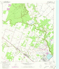
Historical Maps of Iago Through Time
6 maps found
Featured Locations
Source Details
SourceU.S. Geological Survey
CopyrightPublic Domain