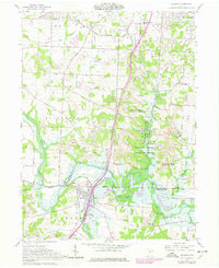
1961 Map of Bolivar
USGS Topo · Published 1978About this map
Fort Laurens State Memorial anchors the southern portion of this landscape, marking the site of the only Continental Army fort in present-day Ohio. Situated along the Tuscarawas River, the area around Bolivar shows a complex layer of historical infrastructure, including the visible path of the Ohio Canal and the extensive Bolivar Dam Spillway. The terrain transitions from the developed outskirts of Richville and North Industry in the north toward a rural interior punctuated by active and Reclaimed Strip Mines. This 1961 field-checked survey, updated through 1978, illustrates a period of industrial transition where traditional agriculture and resource extraction meet modern water management. Notable community landmarks like Shepler Ch and the Fort Laurens Cem provide essential data points for local history, while the Norfolk and Western rail lines define the transport corridor through the river valley.
Find a feature on this map
59 named features on this map. Tap any name to fly to it.
Don’t see what you’re looking for? This feature index may not catch every label — zoom into the map to look around manually.
Map Details
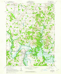
Editions of this 1961 Bolivar Map
2 editions found
Other maps of this area

1901 · Massillon
USGS Topo · 1:62,500

1901 · Canton
USGS Topo · 1:62,500

1903 · Massillon
USGS Topo · 1:62,500

1903 · Canton
USGS Topo · 1:62,500

1912 · Dover
USGS Topo · 1:62,500

1914 · Navarre
USGS Topo · 1:62,500

1944 · Navarre
USGS Topo · 1:62,500

1944 · Dover
USGS Topo · 1:62,500

1951 · Canton
USGS Topo · 1:250,000

1951 · Bolivar
USGS Topo · 1:24,000